
Rapid City sees fog, cooler air
Visibility drops below half a mile tonight as temperatures fall into the 30s and 40s.
By George Parker ·
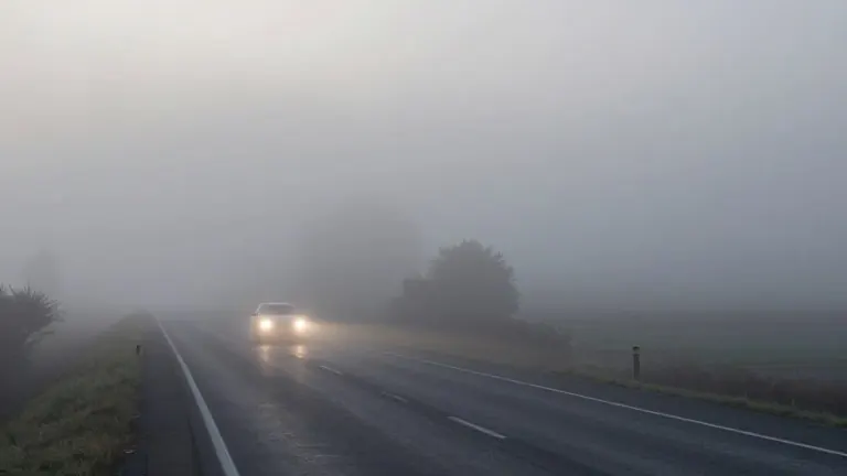
Drivers in the Rapid City area should slow down tonight as patchy fog rolls across the plains and hills. The National Weather Service reports visibility could dip below half a mile in the densest pockets of fog. Temperatures are dropping fast, reaching the low 40s and 30s before sunrise.
The chill continues tomorrow, with a high of 56 degrees in Rapid City. Skies will mix sun and clouds throughout the day. This temperature marks a shift toward typical late October weather. While daytime highs stay cool, overnight lows will actually rise. Lingering clouds trap heat near the surface, preventing it from escaping into the night. This effect is expected to keep overnight temperatures up to 10 degrees warmer than usual.
The forecast improves as the week ends. Highs in the upper 60s are expected Saturday across the KOTA broadcast territory. Sun and clouds will mix to create fair weather for Halloween activities. Sunday follows a similar pattern with highs in the low 60s and partly cloudy skies. A cold front will move in from Montana and Wyoming late Sunday night. This front will bring stronger winds and a chance of rain and snow showers at higher elevations.
Residents must set their clocks back one hour when the front arrives. The new week begins with cooler temperatures in the 50s. Rain is likely on both Monday and Tuesday. Monday is expected to be the worst day for weather. It will remain cloudy and rainy all day. Strong winds will also develop, with gusts expected to exceed 40 mph.
Election Day through Thursday will feature highs near 50 degrees. Skies will remain partly to mostly cloudy. The weather pattern stays mild but cool for the rest of the week.
Source: KOTA-TV